
Scottsville topographic map
Interactive map
Click on the map to display elevation.
About this map
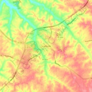
Name: Scottsville topographic map, elevation, terrain.
Location: Scottsville, Allen County, Kentucky, 42164, United States (36.71338 -86.23054 36.79338 -86.15054)
Average elevation: 228 m
Minimum elevation: 167 m
Maximum elevation: 270 m