
Birkeland topographic map
Interactive map
Click on the map to display elevation.
About this map
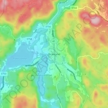
Name: Birkeland topographic map, elevation, terrain.
Location: Birkeland, Birkenes, Agder, 4760, Norway (58.31080 8.21200 58.35080 8.25200)
Average elevation: 95 m
Minimum elevation: 17 m
Maximum elevation: 225 m