
Mount Kelud topographic map
Interactive map
Click on the map to display elevation.
About this map
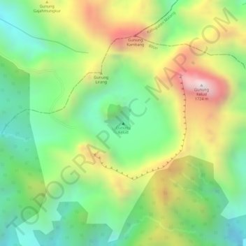
Name: Mount Kelud topographic map, elevation, terrain.
Location: Mount Kelud, Blitar, East Java, Jawa, Indonesia (-7.93897 112.30520 -7.93887 112.30530)
Average elevation: 1,293 m
Minimum elevation: 986 m
Maximum elevation: 1,704 m