Geolocate

Bujama topographic map

Click on the map to display elevation.

About this map
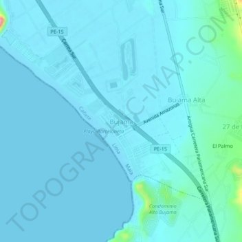
Name: Bujama topographic map, elevation, terrain.

Location: Bujama, Mala, Province of Cañete, Lima, Peru (-12.73176 -76.65181 -12.69176 -76.61181)

Average elevation: 10 m

Minimum elevation: -1 m

Maximum elevation: 122 m

Gear up for your next adventure:

🧦Merino Wool Hiking Socks - Moisture-wicking socks to prevent blisters during long mountain walks
🚲Cycling GPS Computers - Track elevation and topographic routes on two wheels
🧴Sport Sunscreen Sticks - High-protection sunblock that won't run into your eyes on the trail
🎒Replacement Sternum Straps - Repair parts for hiking rucksacks
🐕Dog Hiking Gear - Equipment for hiking safely with dogs

As an Amazon Associate, this site earns from qualifying purchases at no extra cost to you.