
Gemeinde Sankt Peter in der Au topographic map
Interactive map
Click on the map to display elevation.
About this map
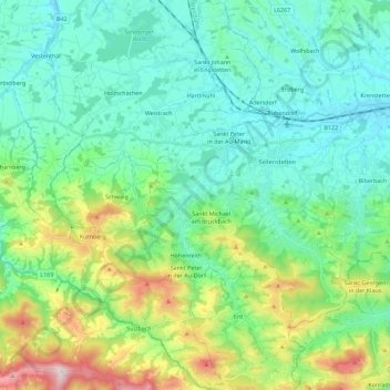
Name: Gemeinde Sankt Peter in der Au topographic map, elevation, terrain.
Average elevation: 467 m
Minimum elevation: 302 m
Maximum elevation: 996 m