
Meiring's Ridge Peaks topographic map
Interactive map
Click on the map to display elevation.
About this map
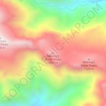
Name: Meiring's Ridge Peaks topographic map, elevation, terrain.
Average elevation: 1,165 m
Minimum elevation: 631 m
Maximum elevation: 1,624 m
Other topographic maps
Click on a map to view its topography, its elevation and its terrain.
Worcester
Südafrika > Westkap > Cape Winelands District Municipality > Breede Valley Local Municipality
Worcester, Breede Valley Local Municipality, Cape Winelands District Municipality, Westkap, 6850, Südafrika
Average elevation: 252 m