Geolocate

L'Assomption topographic map

Click on the map to display elevation.

About this map
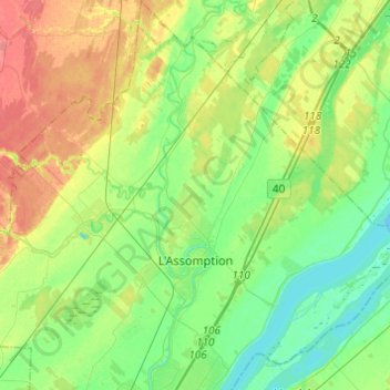
Name: L'Assomption topographic map, elevation, terrain.

Location: L'Assomption, L'Assomption (MRC), Lanaudière, Quebec, Canada (45.77405 -73.49568 45.94354 -73.34502)

Average elevation: 23 m

Minimum elevation: 2 m

Maximum elevation: 57 m

Gear up for your next adventure:

🥤Collapsible Water Bottles - Save space in your rucksack as you consume your water
🧷Tenacious Repair Tape - Instant fix for torn tents, jackets, or dry bags
🥤Hydration Bladders - Hands-free hydration systems for backpacks
🗺️Scratch-off Peak Maps - Track your progress climbing Munros or Wainwrights
💧Hydration Reservoirs - Convenient water bladders for hands-free drinking on the move

As an Amazon Associate, this site earns from qualifying purchases at no extra cost to you.