
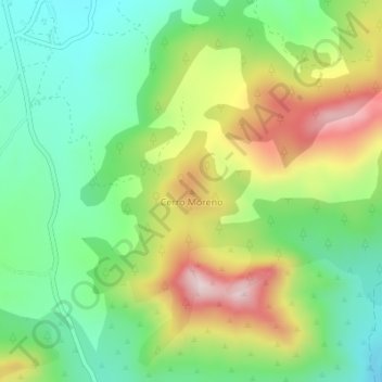
Cerro Moreno topographic map
Interactive map
Click on the map to display elevation.
About this map
Name: Cerro Moreno topographic map, elevation, terrain.
Location: Cerro Moreno, Moratalla, Noroeste, Murcia, España (38.16229 -2.08011 38.16239 -2.08001)
Average elevation: 1,287 m
Minimum elevation: 1,119 m
Maximum elevation: 1,555 m