
Kottageri topographic map
Interactive map
Click on the map to display elevation.
About this map
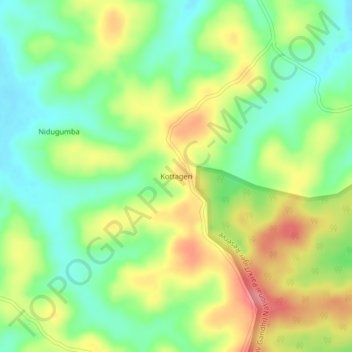
Name: Kottageri topographic map, elevation, terrain.
Location: Kottageri, Virajpet taluk, Kodagu, Karnataka, 571216, India (12.07676 76.02891 12.11676 76.06891)
Average elevation: 843 m
Minimum elevation: 806 m
Maximum elevation: 891 m