
Чашка topographic map
Interactive map
Click on the map to display elevation.
About this map
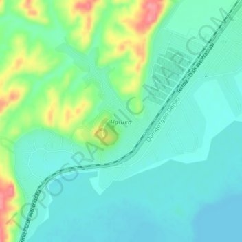
Name: Чашка topographic map, elevation, terrain.
Location: Чашка, Kumkurghon District, Surxondaryo Region, Uzbekistan (37.86281 67.60852 37.89165 67.63846)
Average elevation: 430 m
Minimum elevation: 407 m
Maximum elevation: 495 m