
Baan Bang Rak topographic map
Interactive map
Click on the map to display elevation.
About this map
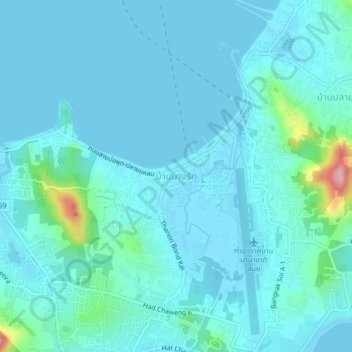
Name: Baan Bang Rak topographic map, elevation, terrain.
Location: Baan Bang Rak, Surat Thani Province, 84320, Thailand (9.53622 100.03427 9.57622 100.07427)
Average elevation: 21 m
Minimum elevation: -1 m
Maximum elevation: 183 m