
Wiesenhagen topographic map
Interactive map
Click on the map to display elevation.
About this map
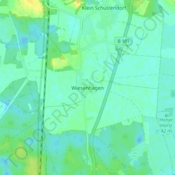
Name: Wiesenhagen topographic map, elevation, terrain.
Location: Wiesenhagen, Teltow-Fläming, Brandenburg, Deutschland (52.15555 13.21788 52.19555 13.25788)
Average elevation: 40 m
Minimum elevation: 34 m
Maximum elevation: 55 m