
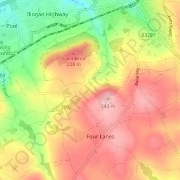
High Carnkie topographic map
Interactive map
Click on the map to display elevation.
About this map
Name: High Carnkie topographic map, elevation, terrain.
Average elevation: 171 m
Minimum elevation: 78 m
Maximum elevation: 245 m
Other topographic maps
Click on a map to view its topography, its elevation and its terrain.
Carnkie
United Kingdom > England > Cornwall > Four Lanes
Carnkie, Carn Brea, Four Lanes, Cornwall, England, TR16 6SB, United Kingdom
Average elevation: 167 m