
Benge Corner topographic map
Interactive map
Click on the map to display elevation.
About this map
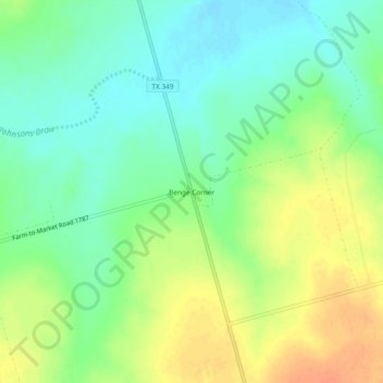
Name: Benge Corner topographic map, elevation, terrain.
Location: Benge Corner, Midland County, Texas, United States (31.69402 -102.02986 31.73402 -101.98986)
Average elevation: 833 m
Minimum elevation: 815 m
Maximum elevation: 855 m
Other topographic maps
Click on a map to view its topography, its elevation and its terrain.