Geolocate

Torre topographic map

Click on the map to display elevation.

About this map

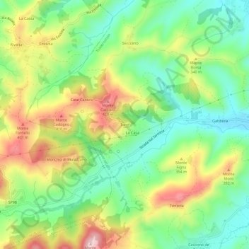
Name: Torre topographic map, elevation, terrain.

Location: Torre, Traversetolo, Parma, Emilia-Romagna, 43029, Italy (44.59949 10.32621 44.63949 10.36621)

Average elevation: 292 m

Minimum elevation: 182 m

Maximum elevation: 453 m

Gear up for your next adventure:

📕Outdoor Navigation Books - Learn traditional and modern navigation techniques
🌄Outdoor Binoculars - Compact binoculars for landscape observation
👟Men's Trail Running Shoes - Lightweight grip for fast movement over topographic contours
🔪Outdoor Multi-Tools - Versatile tools for gear repairs and food prep in the wild
🥾Men's Waterproof Hiking Boots - Durable footwear with deep lugs for muddy and rocky UK terrains

As an Amazon Associate, this site earns from qualifying purchases at no extra cost to you.