
Achstetten topographic map
Interactive map
Click on the map to display elevation.
About this map
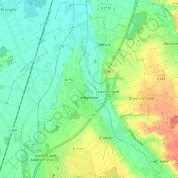
Name: Achstetten topographic map, elevation, terrain.
Average elevation: 506 m
Minimum elevation: 478 m
Maximum elevation: 565 m
Die Wahlbeteiligung bei der Kommunalwahl 2019 lag bei 64,6 % und war damit um 5,6 Prozentpunkte höher als bei der Kommunalwahl 2014.