
Foster topographic map
Interactive map
Click on the map to display elevation.
About this map
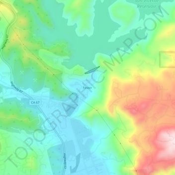
Name: Foster topographic map, elevation, terrain.
Location: Foster, San Diego County, California, 9839, USA (32.88838 -116.94614 32.92838 -116.90614)
Average elevation: 253 m
Minimum elevation: 125 m
Maximum elevation: 540 m