
Ena topographic map
Interactive map
Click on the map to display elevation.
About this map
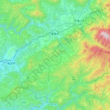
Name: Ena topographic map, elevation, terrain.
Location: Ena, Prefectura de Gifu, 509-7122, Japón (35.22286 137.24981 35.54794 137.60411)
Average elevation: 590 m
Minimum elevation: 133 m
Maximum elevation: 2,165 m