
Suakin topographic map
Click on the map to display elevation.
About this map
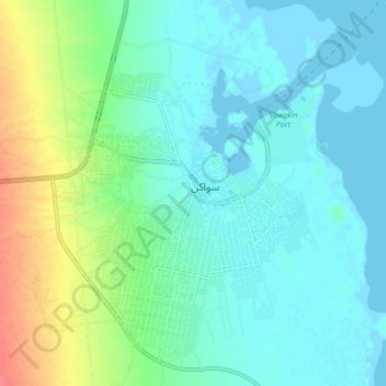
Name: Suakin topographic map, elevation, terrain.
Location: Suakin, Port Sudan, Red Sea State, Sudan (19.06360 37.29709 19.13961 37.38203)
Average elevation: 14 m
Minimum elevation: -3 m
Maximum elevation: 55 m
Other topographic maps
Click on a map to view its topography, its elevation and its terrain.