
Rudrapur topographic map
Interactive map
Click on the map to display elevation.
About this map
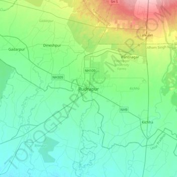
Name: Rudrapur topographic map, elevation, terrain.
Average elevation: 217 m
Minimum elevation: 186 m
Maximum elevation: 327 m
Other topographic maps
Click on a map to view its topography, its elevation and its terrain.
Pantnagar
India > Uttarakhand > Kichha
Pantnagar, Kichha, Udham Singh Nagar District, Uttarakhand, 263145, India
Average elevation: 233 m