
开鲁镇 topographic map
Interactive map
Click on the map to display elevation.
About this map
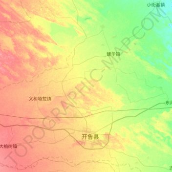
Name: 开鲁镇 topographic map, elevation, terrain.
Location: 开鲁镇, 开鲁县, 通辽市, 内蒙古自治区, 中国 (43.51539 121.10131 43.88205 121.62290)
Average elevation: 239 m
Minimum elevation: 213 m
Maximum elevation: 268 m