
Foglaș topographic map
Interactive map
Click on the map to display elevation.
About this map
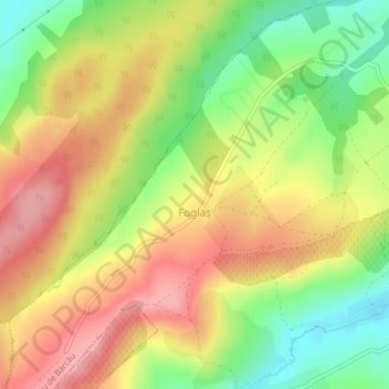
Name: Foglaș topographic map, elevation, terrain.
Location: Foglaș, Bihor, 417538, Roménia (47.24095 22.46913 47.24764 22.47783)
Average elevation: 258 m
Minimum elevation: 195 m
Maximum elevation: 313 m