

Lošinj topographic map
Click on the map to display elevation.
Lošinj
Lošinj is part of the Cres-Lošinj archipelago. The Cres-Lošinj archipelago includes the two major islands Cres and Lošinj, some minor islands Unije, Ilovik, Susak, Vele Srakane, Male Srakane and a number of uninhabited small islets and outcrops. Cres is the largest by area, followed by Lošinj. Cres and Lošinj are connected by a small bridge at the town of Osor on Cres. The highest elevations are the mountains Televrin (also called Osoršćica) at 588 m (1,929 ft) and Sv. Nikola (also called Sv. Mikul) at 557 m (1,827 ft). The towns of Nerezine and Sveti Jakov lie at their base. The island bedrock is formed predominantly of chalk limestone and dolomite rocks. There are sand deposits in the western part of the Kurila peninsula.
About this map
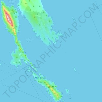
Name: Lošinj topographic map, elevation, terrain.
Average elevation: 14 m
Minimum elevation: -2 m
Maximum elevation: 569 m