
Anthée topographic map
Interactive map
Click on the map to display elevation.
About this map
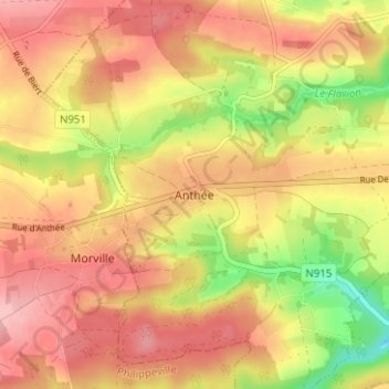
Name: Anthée topographic map, elevation, terrain.
Location: Anthée, Onhaye, Dinant, Namur, Wallonie, 5520, Belgique (50.21953 4.74040 50.25953 4.78040)
Average elevation: 254 m
Minimum elevation: 175 m
Maximum elevation: 304 m