
Leroy Township topographic map
Interactive map
Click on the map to display elevation.
About this map
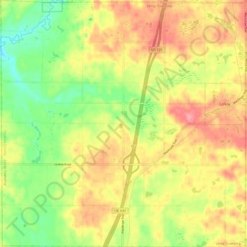
Name: Leroy Township topographic map, elevation, terrain.
Location: Leroy Township, Osceola County, Michigan, United States (43.98787 -85.56348 44.07447 -85.44382)
Average elevation: 363 m
Minimum elevation: 317 m
Maximum elevation: 405 m