
Cedar Valley topographic map
Interactive map
Click on the map to display elevation.
About this map
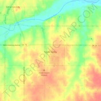
Name: Cedar Valley topographic map, elevation, terrain.
Location: Cedar Valley, Logan County, Oklahoma, United States (35.85660 -97.56738 35.87835 -97.47817)
Average elevation: 310 m
Minimum elevation: 281 m
Maximum elevation: 335 m