
Anne küla topographic map
Interactive map
Click on the map to display elevation.
About this map
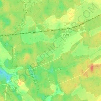
Name: Anne küla topographic map, elevation, terrain.
Location: Anne küla, Antsla vald, Võru County, 66423, Estonia (57.78166 26.41500 57.82286 26.48334)
Average elevation: 69 m
Minimum elevation: 47 m
Maximum elevation: 92 m