
La Cygne topographic map
Interactive map
Click on the map to display elevation.
About this map
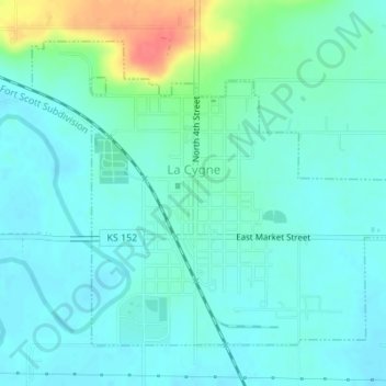
Name: La Cygne topographic map, elevation, terrain.
Location: La Cygne, Linn County, Kansas, United States (38.33769 -94.77577 38.35896 -94.74271)
Average elevation: 256 m
Minimum elevation: 243 m
Maximum elevation: 303 m