
Al Watya topographic map
Click on the map to display elevation.
About this map
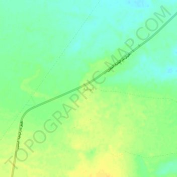
Name: Al Watya topographic map, elevation, terrain.
Location: Al Watya, Nuqat al Khams, Libya (32.45713 11.76392 32.49713 11.80392)
Average elevation: 71 m
Minimum elevation: 60 m
Maximum elevation: 83 m