
Playa Junquillal topographic map
Interactive map
Click on the map to display elevation.
About this map
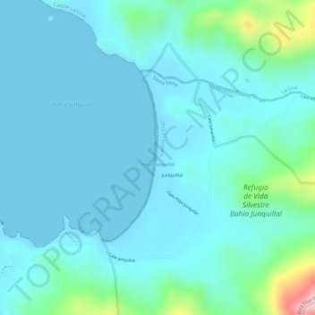
Name: Playa Junquillal topographic map, elevation, terrain.
Average elevation: 36 m
Minimum elevation: 0 m
Maximum elevation: 232 m
Other topographic maps
Click on a map to view its topography, its elevation and its terrain.
Cuajiniquil
Costa Rica > Cantón La Cruz > Santa Elena
Cuajiniquil, Santa Elena, Cantón La Cruz, Provincia Guanacaste, 51004, Costa Rica
Average elevation: 66 m