
Daubenrath topographic map
Click on the map to display elevation.
About this map
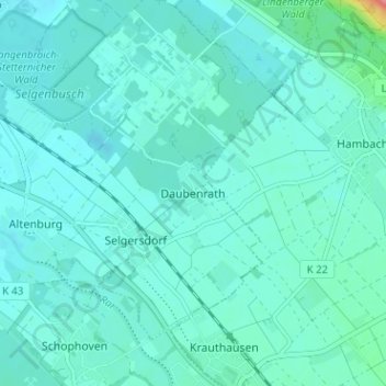
Name: Daubenrath topographic map, elevation, terrain.
Location: Daubenrath, Jülich, Kreis Düren, North Rhine-Westphalia, Germany (50.87368 6.39704 50.91368 6.43704)
Average elevation: 96 m
Minimum elevation: 85 m
Maximum elevation: 171 m
Other topographic maps
Click on a map to view its topography, its elevation and its terrain.