
Tirrases topographic map
Interactive map
Click on the map to display elevation.
Tirrases
Tirrases has an area of 1.87 km2 and an elevation of 1,175 metres.
About this map
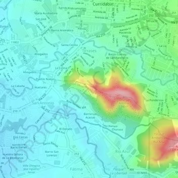
Name: Tirrases topographic map, elevation, terrain.
Average elevation: 1,198 m
Minimum elevation: 1,155 m
Maximum elevation: 1,328 m