Geolocate

Pali topographic map

Click on the map to display elevation.

About this map

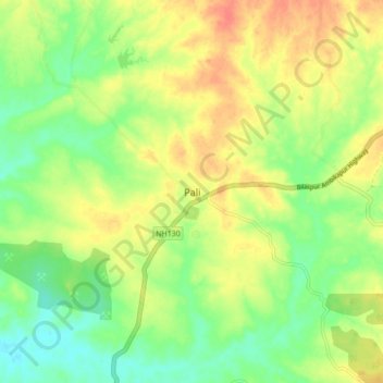
Name: Pali topographic map, elevation, terrain.

Location: Pali, Pali Tahsil, Korba District, Chhattisgarh, India (22.33786 82.28536 22.41786 82.36536)

Average elevation: 320 m

Minimum elevation: 297 m

Maximum elevation: 345 m

Gear up for your next adventure:

🧢Hiking Hats - Sun and weather protection for outdoor walks
🥤Collapsible Water Bottles - Save space in your rucksack as you consume your water
🔦Head Torches - Hands-free lighting for hiking and camping
🦟Anti-Midge & Tick Repellent - Vital for hiking in the Scottish Highlands during summer
🧣Neck Gaiters - Versatile protection against wind and cold

As an Amazon Associate, this site earns from qualifying purchases at no extra cost to you.