Geolocate

Hees topographic map

Interactive map

Click on the map to display elevation.

About this map

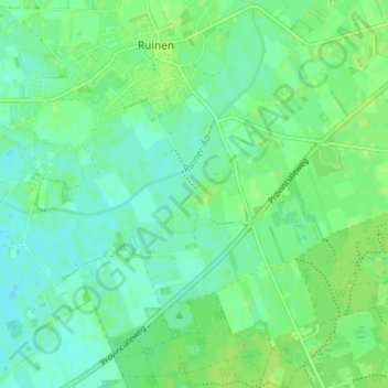
Name: Hees topographic map, elevation, terrain.

Location: Hees, Ruinen, De Wolden, Drenthe, Nederland, 7963 PA, Nederland (52.72879 6.34663 52.76879 6.38663)

Average elevation: 8 m

Minimum elevation: 2 m

Maximum elevation: 13 m

Other topographic maps

Click on a map to view its topography, its elevation and its terrain.

Ruinerweide

Nederland > Drenthe > Ruinen

Ruinerweide, Ruinen, De Wolden, Drenthe, Nederland, 7963 SP, Nederland

Average elevation: 4 m

Armweide

Nederland > Drenthe > Ruinen > Armweide

Armweide, Ruinen, De Wolden, Drenthe, Nederland, 7963RT, Nederland

Average elevation: 5 m