
Tamamura topographic map
Interactive map
Click on the map to display elevation.
About this map
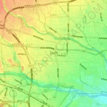
Name: Tamamura topographic map, elevation, terrain.
Location: Tamamura, Sawa County, Gunma Prefecture, Japan (36.27372 139.08758 36.33434 139.17174)
Average elevation: 69 m
Minimum elevation: 48 m
Maximum elevation: 86 m