
Judenweg topographic map
Interactive map
Click on the map to display elevation.
About this map
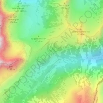
Name: Judenweg topographic map, elevation, terrain.
Location: Judenweg, Glarus Nord, Glarus, 8874, Schweiz (47.06279 9.15749 47.08279 9.17749)
Average elevation: 1,736 m
Minimum elevation: 1,389 m
Maximum elevation: 2,304 m