
Ngwee topographic map
Interactive map
Click on the map to display elevation.
About this map
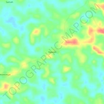
Name: Ngwee topographic map, elevation, terrain.
Location: Ngwee, Fuamah, Bong County, Liberia (7.05364 -10.20042 7.09364 -10.16042)
Average elevation: 194 m
Minimum elevation: 173 m
Maximum elevation: 234 m