
Neustadt topographic map
Interactive map
Click on the map to display elevation.
About this map
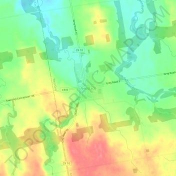
Name: Neustadt topographic map, elevation, terrain.
Location: Neustadt, West Grey, Grey County, Ontario, N0G 2M0, Canada (44.05783 -81.02066 44.09783 -80.98066)
Average elevation: 301 m
Minimum elevation: 267 m
Maximum elevation: 339 m
Other topographic maps
Click on a map to view its topography, its elevation and its terrain.
Ayton
Canada > Ontario > Grey County > West Grey
Ayton, West Grey, Grey County, Ontario, N0G 1C0, Canada
Average elevation: 336 m