
Imjin River topographic map
Interactive map
Click on the map to display elevation.
About this map
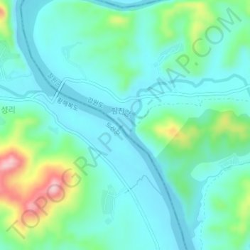
Name: Imjin River topographic map, elevation, terrain.
Location: Imjin River, Chorwon County, Kangwon, North Korea (38.29461 126.86373 38.29794 126.86829)
Average elevation: 97 m
Minimum elevation: 52 m
Maximum elevation: 250 m