
Gingurthy topographic map
Click on the map to display elevation.
About this map
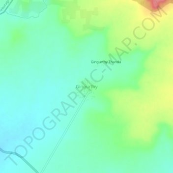
Name: Gingurthy topographic map, elevation, terrain.
Location: Gingurthy, Tandur mandal, Vikarabad District, Telangana, India (17.32759 77.52389 17.36759 77.56389)
Average elevation: 488 m
Minimum elevation: 462 m
Maximum elevation: 549 m