Geolocate

Tafresh topographic map

Click on the map to display elevation.

Tafresh

The flight distance between Tehran and Tafresh is 170 km towards southwest. The average altitude of Tafresh is 1912 meters above sea level, with a continental and semi-arid climate with an annual rainfall of 270 mm.

Wikipedia (CC-BY-SA 3.0)

About this map

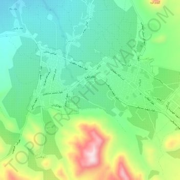
Name: Tafresh topographic map, elevation, terrain.

Location: Tafresh, بخش مرکزی تفرش, Tafresh County, Markazi Province, Iran (34.67765 49.99627 34.70094 50.04800)

Average elevation: 1,956 m

Minimum elevation: 1,824 m

Maximum elevation: 2,233 m

Other topographic maps

Click on a map to view its topography, its elevation and its terrain.

Gear up for your next adventure:

🌄Compact Monoculars - Lightweight optics for hiking
📱Rugged Phone Cases - Heavy-duty protection for smartphones used as secondary GPS tools
🥼Base Layers - Thermal base layers for temperature regulation
🧭Emergency Beacons - Safety beacons for remote outdoor locations
🧣Neck Gaiters - Protects against wind and sun on exposed ridges and peaks

As an Amazon Associate, this site earns from qualifying purchases at no extra cost to you.