
Thakhek District topographic map
Interactive map
Click on the map to display elevation.
About this map
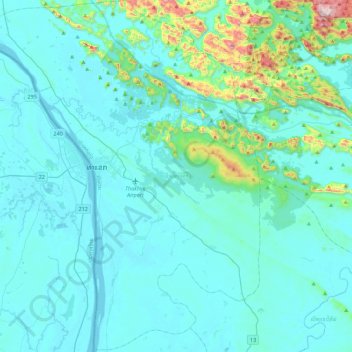
Name: Thakhek District topographic map, elevation, terrain.
Location: Thakhek District, Khammouane, 12000, Laos (17.17113 104.65316 17.59668 105.01370)
Average elevation: 214 m
Minimum elevation: 133 m
Maximum elevation: 896 m
Other topographic maps
Click on a map to view its topography, its elevation and its terrain.