
Kumatori topographic map
Interactive map
Click on the map to display elevation.
About this map
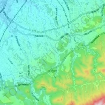
Name: Kumatori topographic map, elevation, terrain.
Location: Kumatori, Sennan County, Osaka Prefecture, 590-0406, Japan (34.35484 135.33552 34.42062 135.38838)
Average elevation: 118 m
Minimum elevation: 7 m
Maximum elevation: 555 m