
Gerga City topographic map
Interactive map
Click on the map to display elevation.
About this map
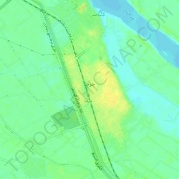
Name: Gerga City topographic map, elevation, terrain.
Location: Gerga City, Suhaj, 82951, Egypt (26.32201 31.86409 26.35329 31.90390)
Average elevation: 66 m
Minimum elevation: 57 m
Maximum elevation: 78 m
Other topographic maps
Click on a map to view its topography, its elevation and its terrain.