
فسا topographic map
Interactive map
Click on the map to display elevation.
About this map
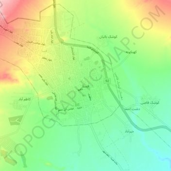
Name: فسا topographic map, elevation, terrain.
Location: فسا, کوشک قاضی, بخش مرکزی, شهرستان فسا, Fars, Iran (28.89664 53.61107 28.97664 53.69107)
Average elevation: 1,374 m
Minimum elevation: 1,309 m
Maximum elevation: 1,488 m