
Mont Ruan topographic map
Interactive map
Click on the map to display elevation.
About this map
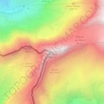
Name: Mont Ruan topographic map, elevation, terrain.
Location: Mont Ruan, Salvan, Sankt Moritz, Wallis, Schweiz (46.12387 6.90047 46.12397 6.90057)
Average elevation: 2,529 m
Minimum elevation: 1,834 m
Maximum elevation: 3,052 m