
Woods Mills topographic map
Interactive map
Click on the map to display elevation.
About this map
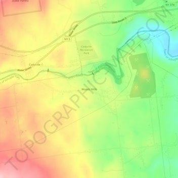
Name: Woods Mills topographic map, elevation, terrain.
Average elevation: 211 m
Minimum elevation: 120 m
Maximum elevation: 300 m
Other topographic maps
Click on a map to view its topography, its elevation and its terrain.
Morrisonville
United States > New York > Clinton County > Town of Schuyler Falls
Morrisonville, Town of Schuyler Falls, Clinton County, New York, United States
Average elevation: 132 m