
Pear Park topographic map
Interactive map
Click on the map to display elevation.
About this map
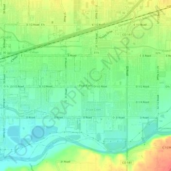
Name: Pear Park topographic map, elevation, terrain.
Location: Pear Park, Mesa County, Colorado, 81504, USA (39.05026 -108.49203 39.09026 -108.45203)
Average elevation: 1,421 m
Minimum elevation: 1,399 m
Maximum elevation: 1,456 m