
Fays topographic map
Interactive map
Click on the map to display elevation.
About this map
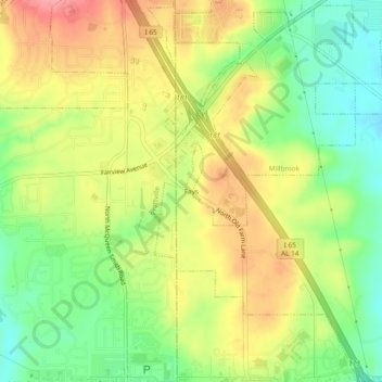
Name: Fays topographic map, elevation, terrain.
Location: Fays, Elmore County, Alabama, 36066, États-Unis d'Amérique (32.46069 -86.42997 32.50069 -86.38997)
Average elevation: 113 m
Minimum elevation: 68 m
Maximum elevation: 160 m