
Chandurbazar topographic map
Interactive map
Click on the map to display elevation.
About this map
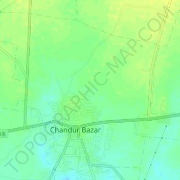
Name: Chandurbazar topographic map, elevation, terrain.
Location: Chandurbazar, Amravati, Maharashtra, India (21.23124 77.73108 21.25686 77.76278)
Average elevation: 376 m
Minimum elevation: 366 m
Maximum elevation: 384 m
Other topographic maps
Click on a map to view its topography, its elevation and its terrain.
Boraj
India > Maharashtra > Chandurbazar
Boraj, Chandurbazar, Amravati, Maharashtra, India
Average elevation: 382 m
Pandhari
India > Maharashtra > Chandurbazar
Pandhari, Chandurbazar, Amravati, Maharashtra, India
Average elevation: 397 m